Jul 20, 2015


                                At the dock ramp in Ketchikan, Ak.
                                           Cruise ship at Ketchikan Ak pier
                                           Boardwalk thru forest to Anan Bear Observatory
                                          Bear close by at Anan Bear Observatory
Black bear with salmon in its mouth


                                The "ROCK" landmark at entrance to Morro Bay
                                Kite festival at Morro Bay
                                         Off the coast of Big Sur point, just south of Monterey
                                Coffee and pastry at an Irish bakery along the Russian River Sonoma County Ca
                                Ever watch the Hitchcock movie the Birds? This is the house
                                where it was filmed. A private home.
                                Northern California coast, Mendocino County
                                Chuck's favorite, BBQ'd oysters, Pt. Reyes national park area
                                Vineyard at Dry Creek Winery, Healdsburg, Ca
                                Tasting wine at Dry Creek Vineyard, our favorite winery
                                Our boat docked at Kwatsi Bay, British Columbia.
                                "Beaver" sea plane in British Columbia
                                Extra rough "dock" in Butedale British Columbia
                                Inside passage to Alaska
                                            The captain.
 
Ketchikan Alaska boat marina where we hang out


Greetings. Once again I find myself struggling to post to our "blog" on a timely basis. Please forgive.

We departed San Diego on April 9, 2015, destination Ketchikan Alaska, a trip of 1900 miles. It turns out some of the roughest weather we were to encounter was right at the entrance to San Diego harbor at Pt. Loma. We really rock and rolled. Thank goodness our boat has hydraulic stabilizers! We arrived in Ketchikan Alaska on June 3rd. We are often asked how long will a trip like this take? There is no set answer for this question. The number one issue is traveling when the weather is good. So then you might ask, what is good? There is no easy answer to this question either. It really depends on your comfort level in a boat on the open ocean. There is a saying in the boating world that the boat can take more than the people on the boat. This is very true. The West coast of the U.S. can be very rough. So the one key to not getting "beat up" is to NEVER be on a schedule. If you try to adhere to a schedule, you are bound to go out on the water when you shouldn't! We traveled past Los Angeles and went into Ventura Ca. We were stuck there for over a week waiting for an appropriate weather window. While So. Ca. waters are considered tame, they were not tame this time. We learned a lot about this area before we could travel again. There is a special dangerous point called Pt. Conception, where you follow the coast in a westerly direction to this point and then turn north. At this point the prevailing NW winds and current collide and seas can be very rough. We did it at the right time, so no issue. We entered Morro Bay knowing another weather system was approaching. We were there for 10 days, again waiting for weather. Morro Bay is a nice town of about 10,000 people, and we got to know it like the back of our hand. When the weather improved, we traveled to San Simeon harbor, just below the Hearst Castle, then to Monterey, then Half Moon Bay, then 20 miles past the entrance to San Francisco into a harbor called Bodega Bay. We again were stuck here for weather, as we arrived here on 5/3 and departed 5/13. Now out of a 1900 mile trip we had made all of about 500 miles or roughly 25% of the trip and it took a month. We were thinking we might not make it to Alaska at this pace. While it was a bit frustrating we had a wonderful time in each place we were "stuck". In the case of Bodega Bay, we rented a car, and enjoyed the the surrounding area, in particular the wine country in Sonoma County.

At Bodega Bay, my good friend Gary from Seattle, flew in and Margaret flew to the Seattle area to wait for Gary and I to make the rest of the trip. We had a good weather window. We left Bodega and traveled 24 hours non stop to Crescent City, just south of the Oregon border. This trip was non eventful as we had good weather. We spent two nights here waiting for good weather and then made a  60 hour non stop trip and arrived at Roche Harbor in the San Juan Islands north of Seattle. After taking more than a month to go 500+ miles, we seemed to suddenly be in the north west. We had traveled 1,200 miles and arrive there on May 18th. About 6 weeks. On this leg we burned 1,268 gallons of diesel, a little less than 1 mpg.

The next 700 miles is relatively easy compared to the west coast, as it is mostly inside passage, not open ocean. We have made this trip many times, and could almost do it blind folded, so to speak.  We departed Roche Harbor on 5/21 and arrived Ketchikan on 6/3.

Since arriving here we took a couple weeks to "recover" from our slog up the coast, then went home for two grand daughter graduations. Then back to Ketchikan where one of sons and grand daughter visited. We made a 4 day trip out of Ketchikan in-between all this where we went fishing and crabbing. Zero fish, but lots of dungeness crab! Yummy!

One of the strange things that has happened in Alaska this year, is how dry and warm it has been. S.E. Alaska is a rain forest. Ketchikan gets over 12 feet of rain a year! But in May and June it hardly rained at all and we had a week where the temperatures were in the 80's! Very hot. Very unusual.

As I type this it is raining hard, but very little wind. Rain is very important here. First, the electricity in each community is produced by hydro power. There is no master grid of electric wires, so each community is on it's own. The other issue, the streams need to run with fresh water so the salmon will return and go up the creeks to spawn and reproduce. The salmon fishing has not been good. Now that it has been raining for a week, fishing is picking up. It is not just pleasure or sport fishing, but also commercial fishing is affected. The economy here relies very much on commercial fishing! Rain is a welcome event.

We hope for the next two or three weeks to travel around S.E. on our boat fishing and just enjoying the beauty of the area. We will head south around the last week of August.

Chuck and Margaret

Mar 2, 2015

I forgot to mention:

After arriving in San Diego we took our boat to the boat yard to have the boat hauled out of the water. We had the bottom paint blasted off and a new epoxy barrier coat plus two coats of paint back on the underwater hull. Also we had our hydraulic fin stabilizers taken out of the boat and new seals installed. Here are some pics of this.
In the haul out slot, straps being placed around hull

Twin propellers with sea growth on them. Note keel lower than props

Hanging by the straps in the "travel lift" machine

Stern of boat, showing rudders. Propellers off being cleaned

Bow of boat, looking forward from side. Paint off, ready for coating.

Freshly painted hull, showing stabilizer fin reinstalled after seal replacement
Monterey, Ca shoreline


West Coast United States

Point Conception near Santa Barbara

Oil well off Santa Barbara
A 30 Lb Halibut

The Proud Fisherman

Halibut Filets ready for freezer

Sunset off West Coast United States

Rain on Window West Coast
Port Angeles, Washington State to San Diego, California

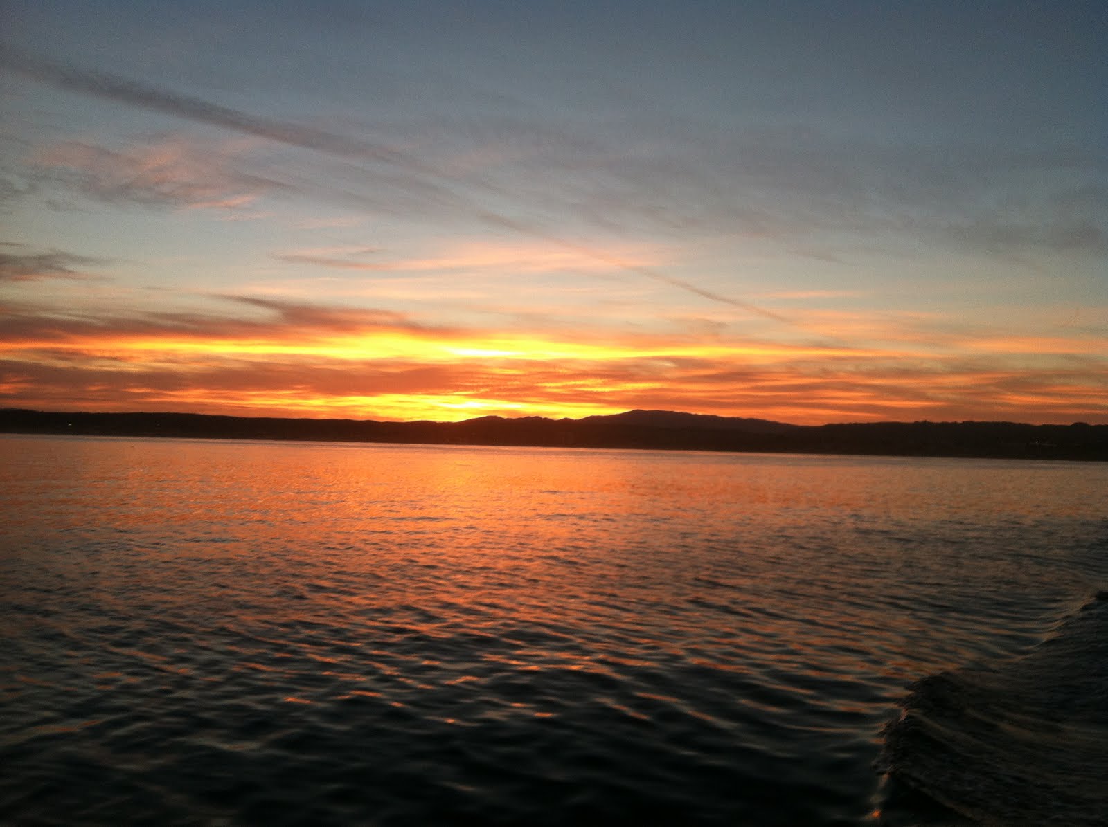
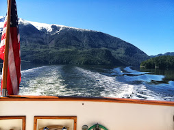
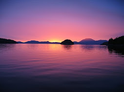
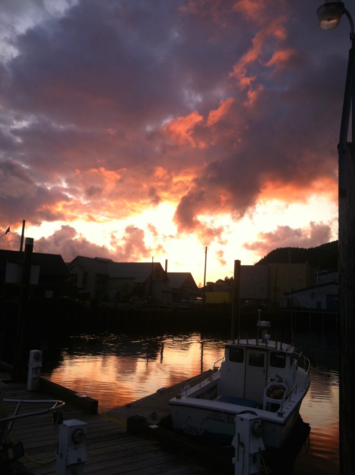
On September 12, 2014, we left Port Angeles, Wa. heading to San Diego. This is a journey of 1200+ miles at a speed of 9-11 mph or about 9 knots per hour. Can you imagine being on the freeway going 1200 miles at 10 mph???  We first traveled west on the Strait of Juan de Fuca and spent the night in a small native american village called Neah Bay. This is about 5 miles east of Cape Flattery, the furthest west and north corner of the United States. As you reach the cape, you make a hard left turn heading south down the west coast of the U.S. Our first "leg" was 241 miles to Newport, Oregon. We left Neah Bay at 0630 and arrived Newport Oregon at 1000 the next morning. Yes, we ran in the dark, overnight, to make this trip. We spent the night of the 13th in Newport, and then went back out on the 14th. Destination, Eureka, California, 237 miles. We left at 0600 in the dark, and arrived on the 15th in Eureka at 1100 hours. We sat in Eureka for 6 days waiting for favorable weather down the coast of California. We rented a car here, spent time with the hippies in Arcata, home of Humboldt State University. What a great spot. Found a wonderful coffee/pastry shop here. (our dietary weakness).

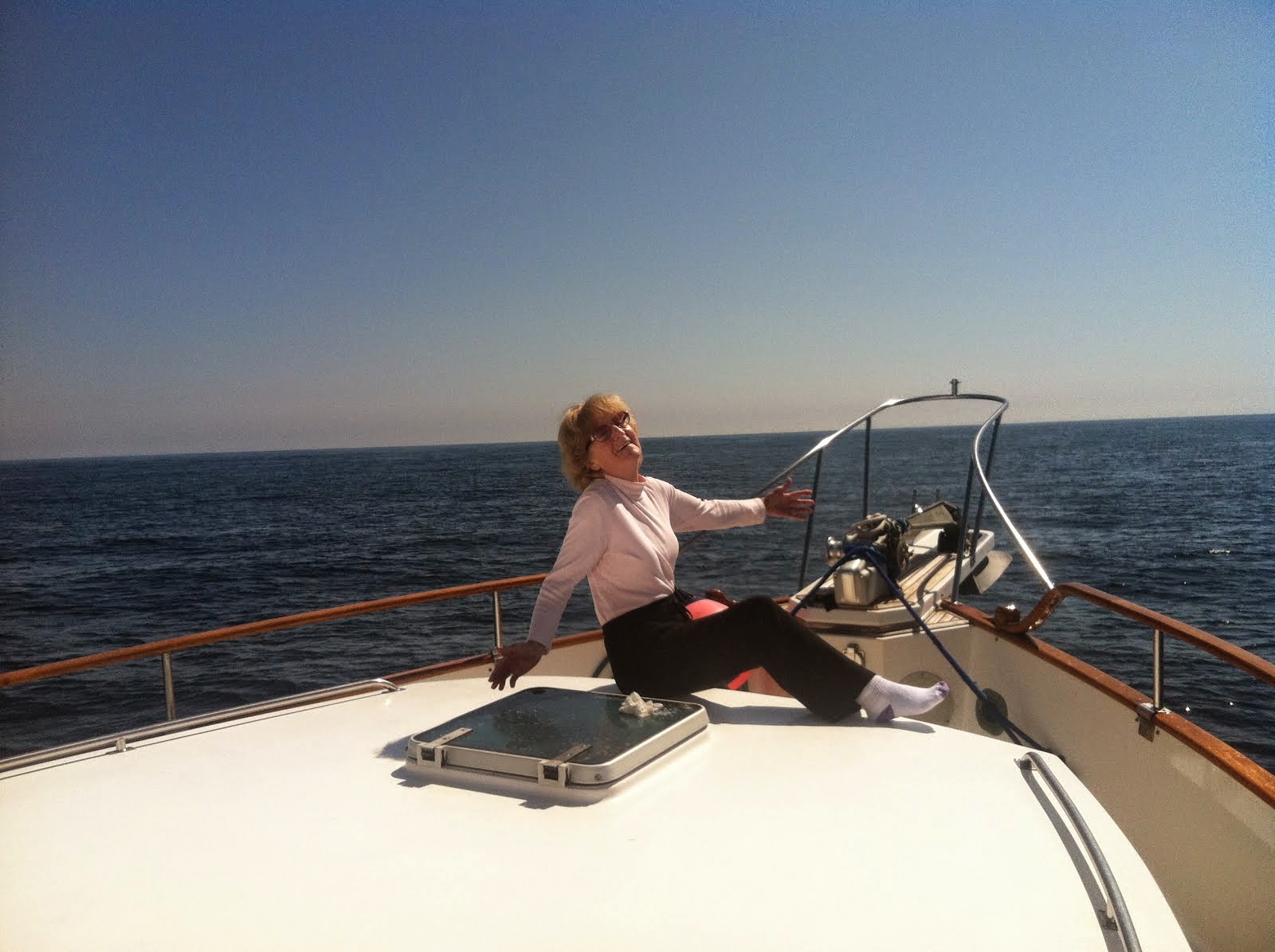
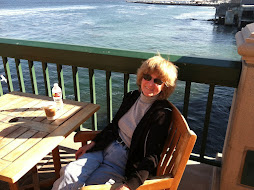
Finally on September 21 at 0600 we left,  next stop Monterey, Ca., a trip of 290 miles. We arrived Monterey the next day, the 22nd, at 1400. Monterey, Ca. is just a GREAT city. If you ever have a chance, you must visit here, if you haven't already done so. We stayed in Monterey until October 17th, just having fun and waiting for good weather.

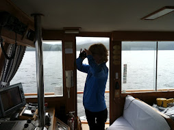
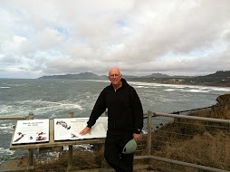
Our next leg was 119 miles where we anchored in a harbor called San Luis. We arrived in the dark, and anchored in a spot using radar and GPS. We were tired after a 13 hour run. But the next morning we were up before daylight heading out. Our destination this time was Santa Barbara, Ca. a trip of only 89 miles. BUT, when leaving San Luis heading south you arrive at the Cape of Good Hope of the United States called Point Conception, where winds, waves and currents all collide. This HAS to be done in good weather, which we had! Then you turn due east heading to Santa Barbara. We arrived there mid afternoon, but the marina was full. We anchored off the pier in extremely light winds. That night, the 18th, was one of the worse nights of our boating career. The waves were only one foot with light winds, but our boat turned sideways to the wave, and we rolled, and rolled, and rolled and rolled. Miserable night.

When we left Santa Barbara, we then went to Ventura, Marina Del Rey in Los Angeles, and then into San Diego to our winter slip at the Sheraton Hotel, on Harbor Island. A very nice spot where we have enjoyed the amenities of the hotel such as restaurants, swimming pool, hot tub, gym, and spa. Extremely nice.

So to recap!

Our trip from Washington State to Alaska, tour Alaska, and back to Washington State was 2,076 miles. Then 1,208 miles to San Diego. Grand total miles at 3,284. We burned 2,722 gallons of diesel, at an average price of $4.07 per gallon, for a total cost of $11,072.  Our average MPG was 1.21. In the boating world this isn't too bad!

Our plans as I write this in early March 2015 is to head north from San Diego April 1st. Destination, Alaska again! We can't get enough of Alaska, it is really our home now. Other than our home in San Diego is where all our family is located! Who knows how long this trip will take, but our goal is to arrive Alaska by June 1st. We have learned though to only travel when the weather is favorable. This is the key. Stay tuned for this next story.
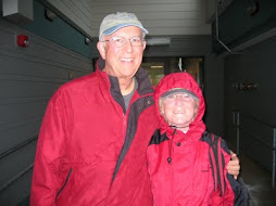
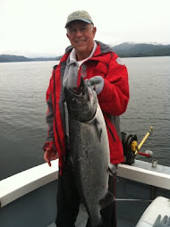
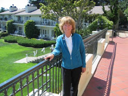
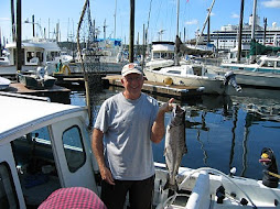
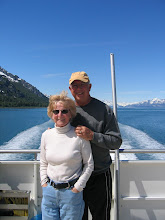
Chuck and Margaret


Feb 23, 2015

Halibut vacuum packed ready for freezer
Coho Salmon vacuum packed ready for freezer


Rainy day in Canada

Sunrise

Sunset


    Halibut about 30-35 lbs Chuck caught right before
                                 leaving Alaska.
February 23, 2015

Oh my gosh, I can't believe I have let all this time go by without posting anything!! We left Alaska the last week of August, 2014, a little earlier than usual, because we wanted to get down to Washington State early. After about a two week journey down the inside passage we arrived at Roche Harbor (www.rocheharbor.com). Roche is located in the San Juan Islands on the border of Canada. If you ever have a chance to vacation this area, I highly recommend it. It is a beautiful area. This is and has been one of our very favorite places. Check out the web site. While it is expensive to dock our boat there, the service is 5 star along with three different eating venues, where the food is always good. We usually clear customs back into the U.S. at this location, and it always feels good to be welcomed back by the customs agent. There is a special customs dock where we tie up the boat, and then I take passports and boat proof of ownership into the small customs office. Since we have done this so many times, we are in the computer, and they don't even bother coming on our boat. But I digress from the trip thru British Columbia. The weather all the way thru northern B.C. was rainy and windy. Not very pleasant. But in these northern latitudes you have to expect the climate to be unpredictable. Probably one of our very favorite anchorages (there are almost no marinas) in northern B.C. is a place called Lowe Inlet off Grenville Channel. Grenville is a long, about 50 miles, narrow channel with lots of current flowing either with us or against us depending on the tide rising or falling. Lowe is an inlet that is off this channel about two miles into a dead end bay. At the head of the bay is a large waterfall. We anchor about 50 yards away from the waterfall. When we drop the anchor the boat drifts backwards from the flow of water, and as the anchor sets itself, we sit facing looking directly at this beautiful waterfall. Then the salmon were trying to swim up the waterfall, migrating back into fresh water. All around our boat, salmon are jumping. Then along the shore at the bottom of the waterfall are black bears catching salmon. It is quite the show!!!! We could probably sit there multiple days watching the show. Most of the time, there was not another boat there for the two nights we were there.  The channels we navigate, probably about 150 miles of them, are no more than 1/2 to 3/4 miles wide, with 2-4000 ft mountains on each side. One of the benefits of being in the rain were the beautiful waterfalls dropping off the mountains to the sea. These are from lakes on top where the water is overflowing. It is so very beautiful!!

After we left Roche Harbor we proceeded to cross over the Strait of Juan de Fuca. This is a 8-10 mile wide strait running west to east. The southern shore is Washington State, and the northern shore British Columbia. I'm not sure the exact length, but at the western end of the strait is the open Pacific Ocean. At the east end in stops. You have a choice, go south into Puget Sound and the cities of Seattle and Tacoma, or go north into Canada via the Strait of Georgia. This leads to the city of Vancouver among others. We crossed the strait and went to Port Angeles, Wa. where we positioned ourselves to bring the boat down the pacific coast of the U.S. to San Diego, our home. I will detail this trip in the next blog posting. In the meanwhile I will post some pictures from our trip thru British Columbia.
Chuck and Margaret

Aug 19, 2014

Sunset on August 18th from our boat at the dock

August 19, 2014

Waterfront pictures from Ketchikan, Ak.
 Cruise Ship
 Sometimes 5 cruise ships, 10,000 people a day
 10,000 cruise ship passengers doubles our population for the day
 Seiner Fishing Boats
 Center of town, Welcome sign
 Rain gauge 100" so far in 2014, 140" last year
Thomas Basin Marina where we keep our boat